Antipodes of Indonesia
The map below highlights the area on the opposite side of the world corresponding to Indonesia:
Activate 3D Map to use this option.
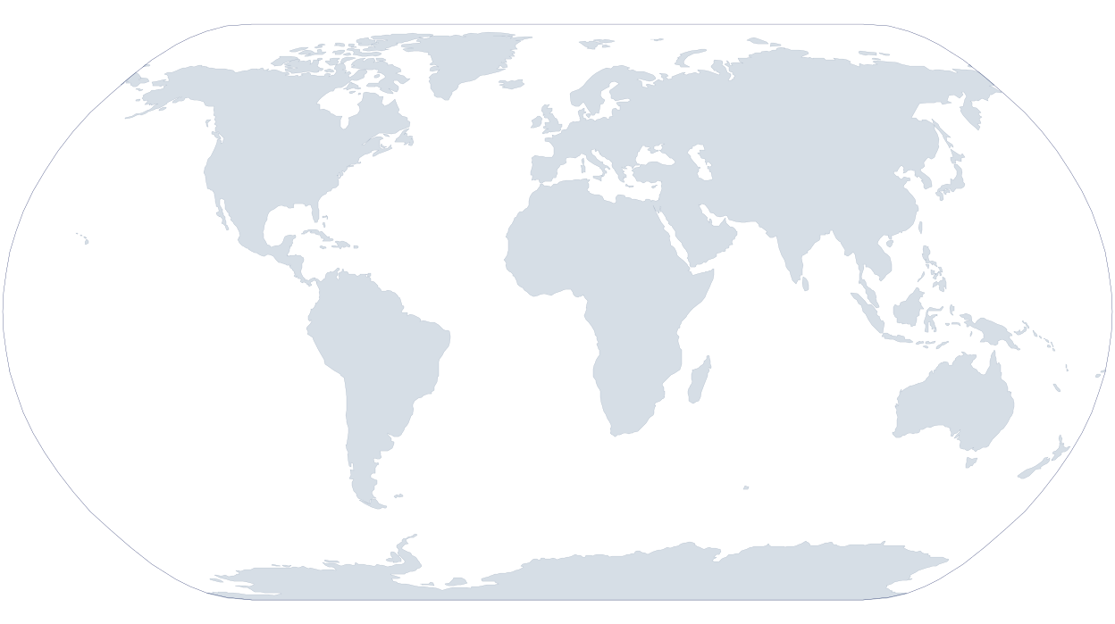
Loading map...
Territory of Indonesia
Antipode of Indonesia
Antipodes of the rest of the world
Detailed view
While the map above provides a global view, this detailed map focuses specifically on the antipode of Indonesia.
Where do the antipodes lie?
The projected area of Indonesia overlaps the ocean by about 33% and land by 67%. In terms of area, that is approx. 621,249 km² of ocean and 1,258,578 km² of land. The chart shows the overall split, and the table breaks down the seas and the countries or territories that overlap with the antipodes.
Land and ocean share
67%
Land
| Land | 67% | 1,258,578 km² |
| Ocean | 33% | 621,249 km² |
Projected area breakdown
| Brazil | 26.6% | 500,171 km² |
| North Atlantic Ocean | 25.7% | 482,836 km² |
| Colombia | 17.2% | 323,820 km² |
| Venezuela | 11.4% | 215,172 km² |
| Ecuador | 7.0% | 130,892 km² |
| South Pacific Ocean | 5.6% | 104,832 km² |
| Guyana | 3.4% | 63,809 km² |
| North Pacific Ocean | 1.6% | 29,803 km² |
| Suriname | 0.7% | 12,729 km² |
| France | 0.5% | 9,362 km² |
| Peru | 0.1% | 2,623 km² |
| Other ocean (unidentified) | 0.1% | 2,289 km² |
| South Atlantic Ocean | 0.1% | 1,489 km² |
| Caribbean Sea | <0.1% | <1 km² |
Antipodes of cities in Indonesia
View the exact antipodal points of the most populated cities in Indonesia. For other cities, please use the antipode finder.
View the antipodes of:
- Jakarta
- Surabaya, East Java
- Bekasi, West Java
- Bandung, West Java
- Medan, North Sumatra
- Depok, West Java
- Tangerang, Banten
- Palembang, South Sumatra
- Semarang, Central Java
- Makassar, South Sulawesi
- Jepara, Central Java
- Pekanbaru, Riau
- Bogor, West Java
- Padang, West Sumatra
- Malang, East Java
- Samarinda, East Kalimantan
- Tasikmalaya, West Java
- Serang, Banten
- South Tangerang, Banten
- Balikpapan, East Kalimantan
- Pontianak, West Kalimantan
- Denpasar, Bali
- Banjarmasin, South Kalimantan
- Batam, Riau
- Bandar Lampung, Lampung
- Cimahi, West Java
- Surakarta, Central Java
- Kupang, East Nusa Tenggara
- Cilegon, Banten
- Manado, North Sulawesi
- Mataram, West Nusa Tenggara
- Jayapura, Papua
- Bengkulu
- Palu, Central Sulawesi
- Yogyakarta
- Sukabumi, West Java
- Kendari, Southeast Sulawesi
- Dumai, Riau
- Ambon, Maluku