Examples
What are geographic coordinates?
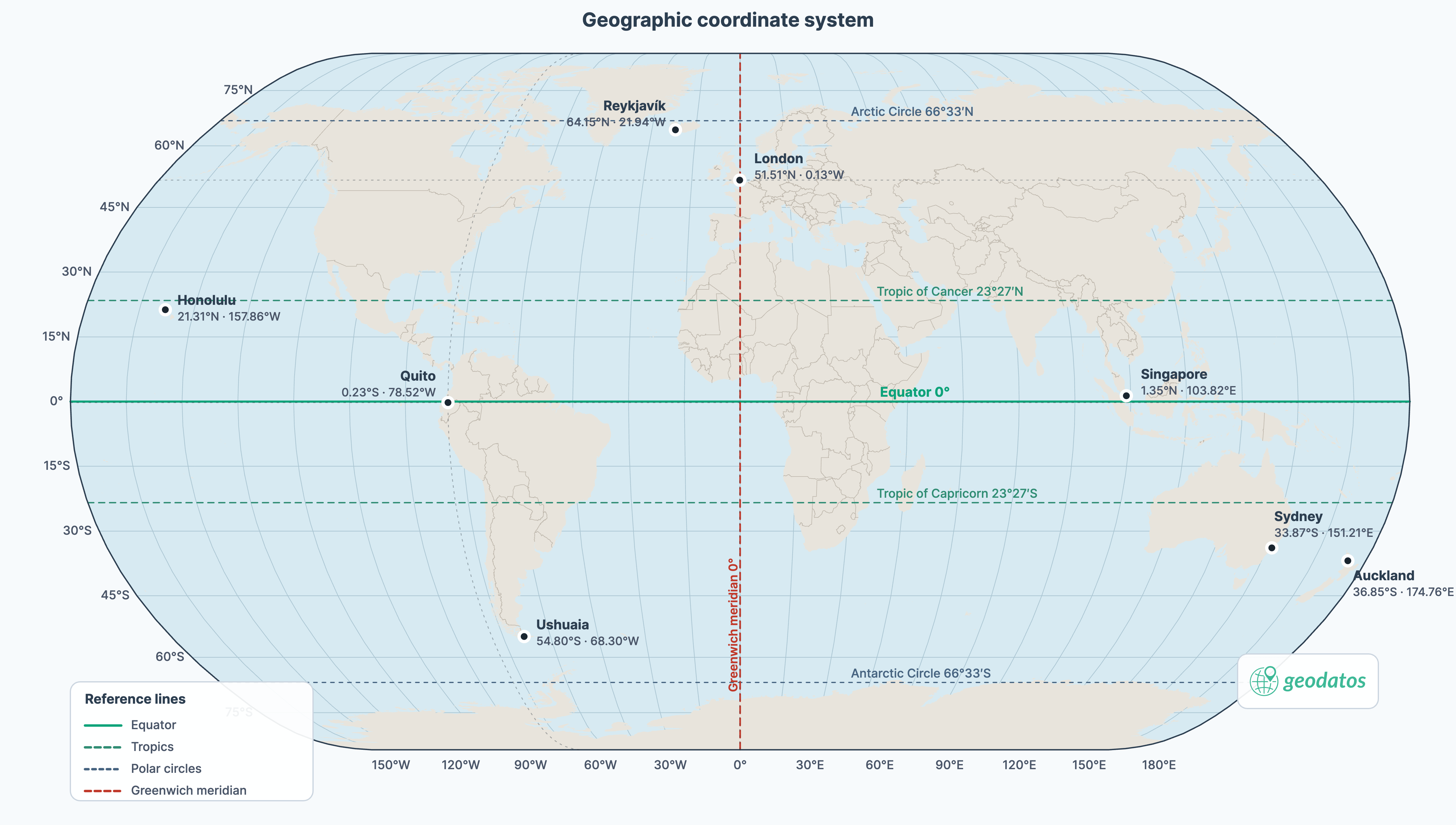
The geographic coordinate system locates any point on Earth by its latitude (north–south relative to the equator) and longitude (east–west relative to the Greenwich meridian). Those measurements are expressed on a reference system, WGS84 (World Geodetic System 1984), which models the Earth as an ellipsoid, sets the origin of the measurements, and is the standard for GPS and most digital maps.
Coordinate formats
The same point can be written in several ways. The format does not change the location: it changes the notation, the precision shown, and the tools that can interpret it. In every example on this page, latitude comes first and longitude comes second.
Decimal degrees
This is the simplest format for GPS, web maps, spreadsheets, open data, and APIs. Each coordinate is written as a signed number: north and east are positive; south and west are negative. Latitude ranges from −90 to 90 (south and north poles) and longitude from −180 to 180 (west and east relative to Greenwich). For example, 40.7128, -74.0060 represents a northern latitude and a western longitude.
More decimal places describe a position in greater detail: near the equator, 4 decimals equal a precision of about 10 metres, and 5 decimals about 1 metre.
Degrees, minutes, and seconds (DMS)
This is the traditional sexagesimal system used on maps and charts. One degree has 60 minutes, and one minute has 60 seconds. Cardinal directions indicate the hemisphere, as in 40° 42' 46.1" N, 74° 0' 21.6" W. It is easy to read when consulting a chart, dictating a position, or comparing it with a written reference, although it usually needs to be converted before it can be used in an application.
Degrees and decimal minutes (DDM)
This format keeps degrees and minutes but writes the fraction of a minute as a decimal: 40° 42.768' N, 74° 0.360' W. It is common in navigation and nautical charting. When copying it, keep the degrees, the minute value, and the hemisphere indicator; it should not be confused with decimal degrees.
UTM
UTM (Universal Transverse Mercator) divides the Earth into 60 zones of 6 degrees of longitude and expresses the position in metres. It is used mainly in surveying, cadastre, engineering, and local mapping, when it is more convenient to measure in metres than in degrees. A UTM coordinate has three parts. For example, 18T 583959 4507351 (approximately 40.7128, -74.0060) reads as follows: 18T is zone 18 and latitude band T (a strip of about 8° of latitude); 583959 is the distance in metres east within that zone; and 4507351 is the distance in metres north. Without the zone and the band, easting and northing do not identify a unique point. UTM is not defined beyond 84° N or 80° S.
Plus Code
A Plus Code, also called an Open Location Code, is a short address made of letters, numbers, and a + sign. Instead of reading out latitude and longitude, you can share a code such as 87G7PX7V+4H (approximately 40.7128, -74.0060).
Google Maps popularized this format, and it is used for deliveries, meeting points, rural homes, and any situation where a precise place needs to be indicated without relying on a traditional address.
Geohash
A geohash is a compact string of letters and numbers built for software applications. Its first characters represent a broad area; each additional character divides it into smaller cells. That is why it is useful for indexing locations, finding nearby candidates, and transmitting coordinates briefly. For example, dr5regw3p corresponds to approximately 40.7128, -74.0060. It is neither a postal address nor a distance: if two points fall just on different sides of a cell, their geohashes can look very different even when they are only a few metres apart.
Coordinates by country
A
-
 Afghanistan
 -
 Aland Islands
 -
 Albania
 -
 Algeria
 -
 American Samoa
 -
 Andorra
 -
 Angola
 -
 Anguilla
 -
 Antarctica
 -
 Antigua and Barbuda
 -
 Argentina
 -
 Armenia
 -
 Aruba
Aruba -
 Australia
 -
 Austria
 -
 Azerbaijan
B
-
 Bahamas
 -
 Bahrain
 -
 Bangladesh
 -
 Barbados
 -
 Belarus
 -
 Belgium
 -
 Belize
 -
 Benin
Benin -
 Bermuda
 -
 Bhutan
 -
 Bolivia
 -
 Bonaire, Saint Eustatius and Saba
 -
 Bosnia and Herzegovina
 -
 Botswana
 -
 Bouvet Island
 -
 Brazil
 -
 British Indian Ocean Territory
 -
 British Virgin Islands
 -
 Brunei
 -
 Bulgaria
 -
 Burkina Faso
 -
 Burundi
C
-
 Cabo Verde
 -
 Cambodia
 -
 Cameroon
 -
 Canada
 -
 Cayman Islands
 -
 Central African Republic
 -
 Chad
Chad -
 Chile
Chile -
 China
China -
 Christmas Island
 -
 Cocos Islands
 -
 Colombia
 -
 Comoros
 -
 Cook Islands
 -
 Costa Rica
 -
 Croatia
 -
 Cuba
Cuba -
 Curacao
 -
 Cyprus
 -
 Czechia
D
E
F
-
 Falkland Islands
 -
 Faroe Islands
 -
 Fiji
Fiji -
 Finland
 -
 France
 -
 French Guiana
 -
 French Polynesia
 -
 French Southern Territories
G
-
 Gabon
Gabon -
 Gambia
 -
 Georgia
 -
 Germany
 -
 Ghana
Ghana -
 Gibraltar
 -
 Greece
 -
 Greenland
 -
 Grenada
 -
 Guadeloupe
 -
 Guam
Guam -
 Guatemala
 -
 Guernsey
 -
 Guinea
 -
 Guinea-Bissau
 -
 Guyana
H
I
J

K
L

M
-
 Macao
Macao -
 Madagascar
 -
 Malawi
 -
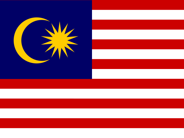 Malaysia
 -
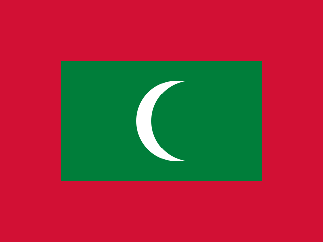 Maldives
 -
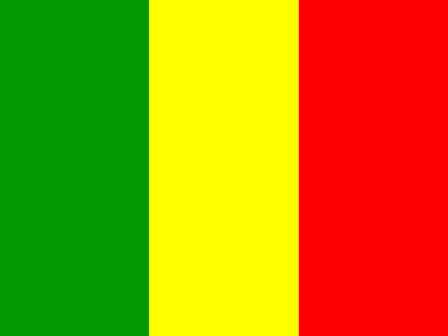 Mali
Mali -
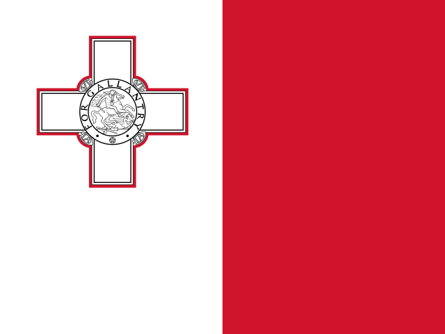 Malta
Malta -
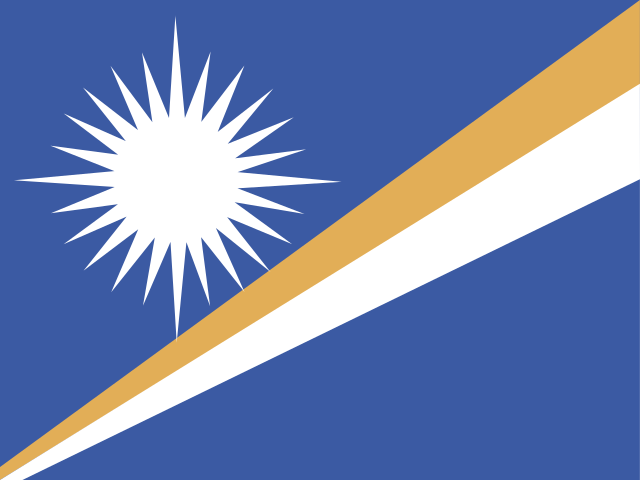 Marshall Islands
 -
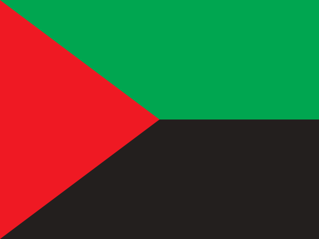 Martinique
 -
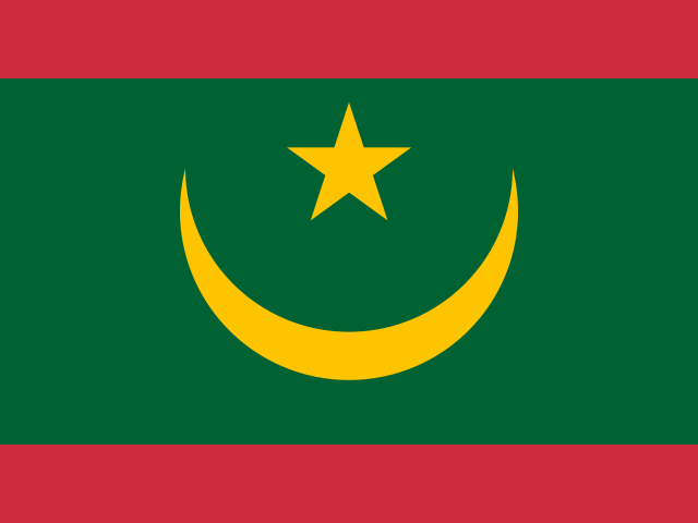 Mauritania
 -
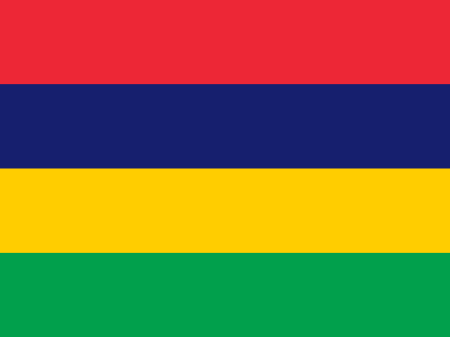 Mauritius
 -
 Mayotte
 -
 Mexico
 -
 Micronesia
 -
 Moldova
 -
 Monaco
 -
 Mongolia
 -
 Montenegro
 -
 Montserrat
 -
 Morocco
 -
 Mozambique
 -
 Myanmar
N
-
 Namibia
 -
 Nauru
Nauru -
 Nepal
Nepal -
 Netherlands
 - Netherlands Antilles
-
 New Caledonia
 -
 New Zealand
 -
 Nicaragua
 -
 Niger
Niger -
 Nigeria
 -
 Niue
Niue -
 Norfolk Island
 -
 Northern Mariana Islands
 -
 North Korea
 -
 North Macedonia
 -
 Norway
O
P
-
 Pakistan
 -
 Palau
Palau -
 Palestinian Territory
 -
 Panama
 -
 Papua New Guinea
 -
 Paraguay
 -
 Peru
Peru -
 Philippines
 -
 Pitcairn
 -
 Poland
 -
 Portugal
 -
 Puerto Rico
Q
R
S
-
 Saint Barthelemy
 -
 Saint Helena
 -
 Saint Kitts and Nevis
 -
 Saint Lucia
 -
 Saint Martin
 -
 Saint Pierre and Miquelon
 -
 Saint Vincent and the Grenadines
 -
 Samoa
Samoa -
 San Marino
 -
 Sao Tome and Principe
 -
 Saudi Arabia
 -
 Senegal
 -
 Serbia
 -
 Seychelles
 -
 Sierra Leone
 -
 Singapore
 -
 Sint Maarten
 -
 Slovakia
 -
 Slovenia
 -
 Solomon Islands
 -
 Somalia
 -
 South Africa
 -
 South Georgia and the South Sandwich Islands
 -
 South Korea
 -
 South Sudan
 -
 Spain
Spain -
 Sri Lanka
 -
 Sudan
Sudan -
 Suriname
 -
 Svalbard and Jan Mayen
 -
 Sweden
 -
 Switzerland
 -
 Syria
Syria
T
-
 Taiwan
 -
 Tajikistan
 -
 Tanzania
 -
 Thailand
 -
 Timor Leste
 -
 Togo
Togo -
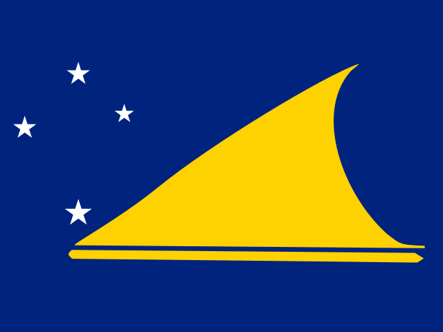 Tokelau
 -
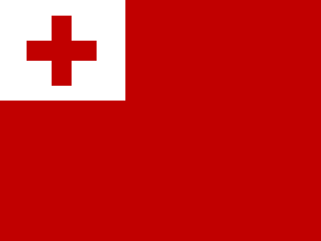 Tonga
Tonga -
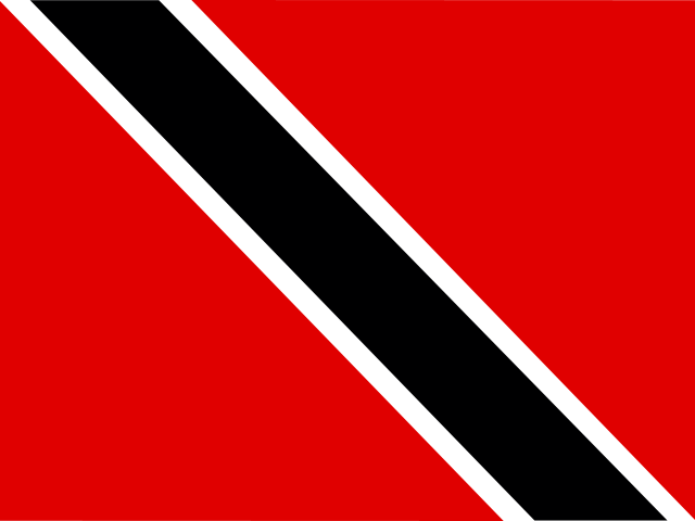 Trinidad and Tobago
 -
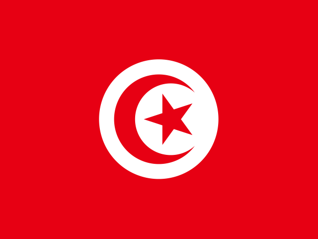 Tunisia
 -
 Turkey
 -
 Turkmenistan
 -
 Turks and Caicos Islands
 -
 Tuvalu
U
-
 Uganda
 -
 Ukraine
 -
 United Arab Emirates
 -
 United Kingdom
 -
 United States
 -
 United States Minor Outlying Islands
 -
 Uruguay
 -
 U.S. Virgin Islands
 -
 Uzbekistan