Saudi Arabia Geographic coordinates
Saudi Arabia is in Asia, at latitude 23.885942 and longitude 45.079162. It lies in the northern and eastern hemispheres.
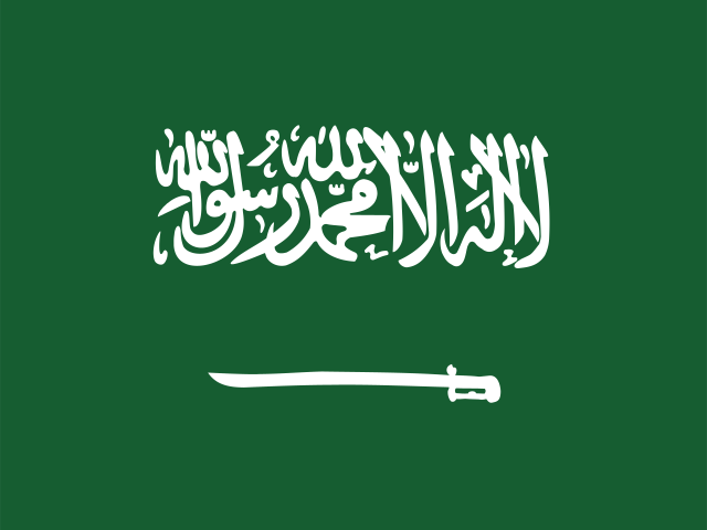 Asia Northern · Eastern Hemisphere
 23.885942, 45.079162
23.8859° N 45.0792° E
23°53'9.4'' N 45°4'45'' E
38Q 508059 2641601
7HM7V3PH+9M
th0pcu39s
Latitude and longitude of Saudi Arabia
| System | Lat. Latitude | Long. Longitude |
|---|---|---|
| Decimal standard | 23.885942 | 45.079162 |
| Decimal Degrees (DD) | 23.8859° N | 45.0792° E |
| Degrees, Minutes and Seconds (DMS) | 23°53'9.4'' N | 45°4'45'' E |
| Degrees and Decimal Minutes (DDM) | 23°53.157' N | 45°4.75' E |
Interactive coordinate map
Activate Flat Map to use this option.
Geographic facts about Saudi Arabia
Distances calculated from the central point of Saudi Arabia.
Geographic coordinates - Cities of Saudi Arabia
More cities:
- Al Jubayl
- Şabyā
- Jizan
- Khobar
- Arar
- Ad Dilam
- Sakakah
- Az Zulfī
- Qurayyat
- Unaizah
- Sabt Alalayah
- Dhahran
- Al Qaţīf
- Al Bahah
- Ad Dawādimī
- Tārūt
- Qal‘at Bīshah
- Bariq
- Rābigh
- Ash Shafā
- Al Līth
- Abū ‘Arīsh
- Sayhāt
- Ţurayf
- King Faisal Military City
- Ras Tanura
- Ad Dir‘īyah
- Al Khafjī
- Baljurashi
- Al Badā’i‘ al Wusţá
- Ranyah
- Şafwá
- Afif
- Al Bukayrīyah
- ‘Irqah
- Raḩīmah
- Turaif
- Ţubarjal
- Taymā’
- Umluj
- Al Mithnab
- Al-`Ula
- Shaqra
- Ḥawṭah Banī Tamīm
- Fayfā’
- Laylá
- Abqaiq
- Al Khurmah
- Turubah
- Badr Ḩunayn
- Thuwal
- Şāmitah
- Al Wajh
- Al ‘Awwāmīyah
- Ḑamad
- Ḩaql
- Riyāḑ al Khabrā’
- King Khalid Military City
- Rumāḩ
- An Nimas
- As Sulayyil
- Al Mash‘ilīyah
- Turabah
- Al Jumūm
- Duba
- Aţ Ţaraf
- Qaisumah
- Mahd adh Dhahab
- Khulayş
- ‘Inak
- Sarāt ‘Abīdah
- Baq‘ā’
- Al ‘Aqīq
- Al Khabrā’
- Al Baţţālīyah
- Al Munayzilah
- ‘Uyūn al Jiwā’
- Al Majāridah
- Al Hayāthim
- Tanūmah
- Ḩabūnā
- Al Qurayn
- Umm as Sāhik
- Sājir
- Qibah
- Al Awjām
- Az̧ Z̧abyah
- Farasān
- King Abdullah City
- ‘Uqlat aş Şuqūr
To search the latitude and longitude of other countries and cities use the coordinates finder.
About geographic coordinates
The geographic coordinate system enables any place in the world to be located using its latitude and longitude. The latitude is the position relative to the equator, specifying the north-south position. The longitude specifies the east-west position measured from a reference meridian (usually the Greenwich Prime Meridian). The latitude and longitude of Saudi Arabia have been calculated based on the geodetic datum WGS84.
Besides latitude and longitude, there are other systems to express a location: UTM coordinates divide the world into 60 zones and express positions in meters; the Plus Code is an open short code used by Google Maps; and the geohash is a compact format widely used in software applications.
All formats correspond to the same reference point: the approximate geographic center of Saudi Arabia, a representative point within the country's territory.