Serbia Geographic coordinates
Serbia is in Europe, at latitude 44.016521 and longitude 21.005859. It lies in the northern and eastern hemispheres.
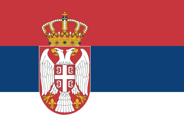 Europe Northern · Eastern Hemisphere
 44.016521, 21.005859
44.0165° N 21.0059° E
44°0'59.5'' N 21°0'21.1'' E
34T 500470 4873708
8GP32284+J8
sryfmuzyz
Latitude and longitude of Serbia
| System | Lat. Latitude | Long. Longitude |
|---|---|---|
| Decimal standard | 44.016521 | 21.005859 |
| Decimal Degrees (DD) | 44.0165° N | 21.0059° E |
| Degrees, Minutes and Seconds (DMS) | 44°0'59.5'' N | 21°0'21.1'' E |
| Degrees and Decimal Minutes (DDM) | 44°0.991' N | 21°0.352' E |
Interactive coordinate map
Activate Flat Map to use this option.
Geographic facts about Serbia
Distances calculated from the central point of Serbia.
Geographic coordinates - Cities of Serbia
More cities:
- Pančevo
- Užice
- Vranje
- Šabac
- Zaječar
- Trstenik
- Sombor
- Kikinda
- Požarevac
- Pirot
- Sremska Mitrovica
- Vršac
- Ruma
- Bačka Palanka
- Prokuplje
- Smederevska Palanka
- Vrbas
- Bečej
- Knjazevac
- Inđija
- Aranđelovac
- Gornji Milanovac
- Lazarevac
- Sremčica
- Ćuprija
- Senta
- Loznica
- Apatin
- Futog
- Negotin
- Obrenovac
- Stara Pazova
- Bačka Topola
- Nova Pazova
- Kovin
- Sremska Kamenica
- Petrovaradin
- Surčin
- Kać
- Ripanj
- Bela Crkva
- Veternik
- Vrnjačka Banja
- Kanjiža
- Majdanpek
- Čurug
- Vrčin
- Bačko Petrovo Selo
- Sremski Karlovci
- Bajina Bašta
- Crvenka
- Padinska Skela
- Žabalj
- Novi Kneževac
- Mol
- Novo Miloševo
- Melenci
- Dobanovci
- Lapovo
- Kovačica
- Bački Petrovac
- Bogatić
- Arilje
- Starčevo
- Vinča
- Mokrin
- Debeljača
- Beška
- Padina
- Banatski Karlovac
- Titel
- Filmski Grad
- Paraćin
- Sonta
- Badovinci
- Bačko Gradište
- Umka
- Stanišić
- Palić
- Srpska Crnja
- Čoka
- Crepaja
- Zvečka
- Ečka
- Kovilj
- Vladimirovac
- Bavanište
- Barič
- Prigrevica
- Čelarevo
To search the latitude and longitude of other countries and cities use the coordinates finder.
About geographic coordinates
The geographic coordinate system enables any place in the world to be located using its latitude and longitude. The latitude is the position relative to the equator, specifying the north-south position. The longitude specifies the east-west position measured from a reference meridian (usually the Greenwich Prime Meridian). The latitude and longitude of Serbia have been calculated based on the geodetic datum WGS84.
Besides latitude and longitude, there are other systems to express a location: UTM coordinates divide the world into 60 zones and express positions in meters; the Plus Code is an open short code used by Google Maps; and the geohash is a compact format widely used in software applications.
All formats correspond to the same reference point: the approximate geographic center of Serbia, a representative point within the country's territory.