Cambodia Geographic coordinates
Cambodia is in Asia, at latitude 12.565679 and longitude 104.990963. It lies in the northern and eastern hemispheres.
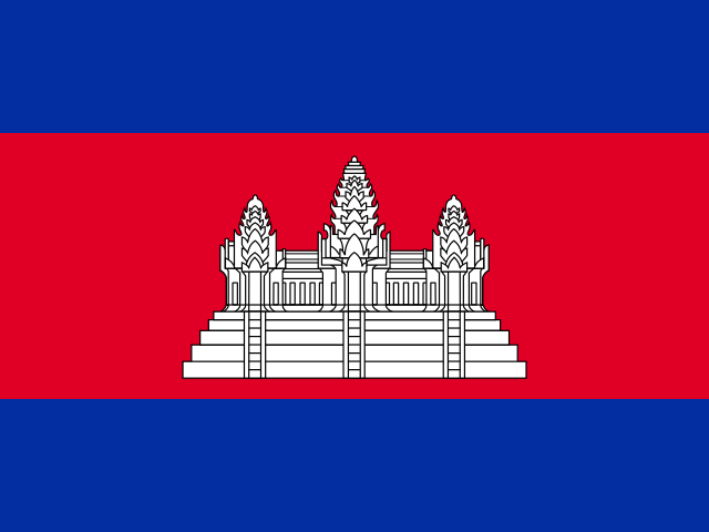 Asia Northern · Eastern Hemisphere
 12.565679, 104.990963
12.5657° N 104.991° E
12°33'56.4'' N 104°59'27.5'' E
48P 499018 1389107
7P46HX8R+79
w64xmps06
Latitude and longitude of Cambodia
| System | Lat. Latitude | Long. Longitude |
|---|---|---|
| Decimal standard | 12.565679 | 104.990963 |
| Decimal Degrees (DD) | 12.5657° N | 104.991° E |
| Degrees, Minutes and Seconds (DMS) | 12°33'56.4'' N | 104°59'27.5'' E |
| Degrees and Decimal Minutes (DDM) | 12°33.941' N | 104°59.458' E |
Interactive coordinate map
Activate Flat Map to use this option.
Geographic facts about Cambodia
Distances calculated from the central point of Cambodia.
Geographic coordinates - Cities of Cambodia
More cities:
- Anlong Veaeng
- Ta Khmau
- Phumĭ Yoŭl Toŭng
- Phumĭ Véal Srê
- Bavet
- Kep
- Kandoeng
- Kampong Speu
- Koh Kong
- Suong
- Smach Mean Chey
- Phumĭ Véal Tônsay
- Boeng Kak Pir
- Tbeng Meanchey
- Chrang Chamreh Muoy
- Dar
- Phumĭ Tnaôt
- Kratié
- Kampong Thom
- Lumphat
- Mémót
- Phum Ânlŭng Vĭl
- Snuol
- Yeang
- Phumĭ Âmpĭl Leu
- Ângk Tasaôm
- Ou Bei Choan
- Veal Sbov
- Ou Char
- Boeng Kak Muoy
- Phumĭ Ânhchaeum
- Tăng Krâsăng
- Ampil Pram Daeum
- Ou Ruessei
- Otdam Souriya
- Phumĭ Ângkôr Borei
- Andoung Khmaer
- Khnach Romeas
- Ream
- Rung
- Ou Smach
- Angkor Sar
- Preaek Khsay Kha
- Longveaek
- Svay Rumpea
- Anlong Thnaot
- Tœ̆k L’ák
- Koun Sat
- Damrei Phong
- Preaek Saman
- Ou Svay
- Roka Khnaor
- Phumĭ Khchau
- Angkoul
- Kampong Trabaek
- Ŏdŏngk
- Yeang Dangkum
- Tuek Kraham
- Pongro
- Phumĭ Tnaôt Chŭm
- Khŭm Ângkôr Ban
- Khŭm Ânsaông
- Tuŏl Tumpung
- Ampov Prey
- Ou Krasar
- Areaks Tnaot
- Angkor Meas
- Chealea
- Damrei Choan Khla
- Ph’av
- Andoung Thma
- Banteay Meas Khang Kaeut
- L’ang
- Kuttasat
- Kampong Damrei
- Kak
- Lvea Leu
- Phumĭ Koŭk Kóng
- Chhloung
- Phumĭ Ândong Snay
- Damnak Khchas
- Han Chey
- Trapeang Chan
- Andoung Trabaek
- Chhnok Tru
- Aachar Leak
- Doun Yay
- Kampong Thkov
- Kdol
- Siem Reab
To search the latitude and longitude of other countries and cities use the coordinates finder.
About geographic coordinates
The geographic coordinate system enables any place in the world to be located using its latitude and longitude. The latitude is the position relative to the equator, specifying the north-south position. The longitude specifies the east-west position measured from a reference meridian (usually the Greenwich Prime Meridian). The latitude and longitude of Cambodia have been calculated based on the geodetic datum WGS84.
Besides latitude and longitude, there are other systems to express a location: UTM coordinates divide the world into 60 zones and express positions in meters; the Plus Code is an open short code used by Google Maps; and the geohash is a compact format widely used in software applications.
All formats correspond to the same reference point: the approximate geographic center of Cambodia, a representative point within the country's territory.