Jamaica Geographic coordinates
Jamaica is in America, at latitude 18.109581 and longitude -77.297508. It lies in the northern and western hemispheres.
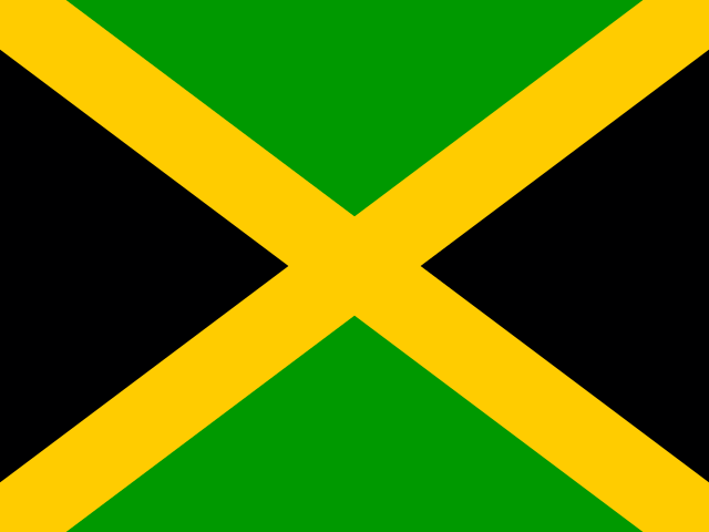 America Northern · Western Hemisphere
 18.109581, -77.297508
18.1096° N 77.2975° W
18°6'34.5'' N 77°17'51'' W
18Q 256878 2003825
77C44P52+RX
d71p109xv
Latitude and longitude of Jamaica
| System | Lat. Latitude | Long. Longitude |
|---|---|---|
| Decimal standard | 18.109581 | -77.297508 |
| Decimal Degrees (DD) | 18.1096° N | 77.2975° W |
| Degrees, Minutes and Seconds (DMS) | 18°6'34.5'' N | 77°17'51'' W |
| Degrees and Decimal Minutes (DDM) | 18°6.575' N | 77°17.85' W |
Interactive coordinate map
Activate Flat Map to use this option.
Geographic facts about Jamaica
Distances calculated from the central point of Jamaica.
Geographic coordinates - Cities of Jamaica
More cities:
- Barrett Town
- Savanna-la-Mar
- Port Antonio
- Negril
- Saint Ann’s Bay
- Bog Walk
- Constant Spring
- Ewarton
- Runaway Bay
- Tower Hill
- Torrington Park
- Penwood
- Grange Hill
- Barbican
- Mountain View Gardens
- Hayes
- Morant Bay
- Stony Hill
- Discovery Bay
- Old Harbour Bay
- Port Maria
- Falmouth
- Yallahs
- Lucea
- Bull Savannah
- Porus
- Annotto Bay
- Lionel Town
- Point Hill
- Above Rocks
- Duncans
- Little London
- Seaforth
- Sandy Bay
- Chapelton
- Whithorn
- Bamboo
- Black River
- Anchovy
- Oracabessa
- Riversdale
- Coleyville
- Petersfield
- Albert Town
- Port Royal
- Moneague
- Gayle
- Malvern
- Williamsfield
- Whitehouse
- Lluidas Vale
- Rocky Point
- Maroon Town
- Golden Grove
- Dalvey
- Race Course
- Trinity Ville
- Mona Heights
- Balaclava
- Lacovia
- Buff Bay
- Siloah
- Southfield
- Easington
- Kellits
- Clarks Town
- Orange Bay
- Bethel Town
- Limit
- Manchioneal
- Darliston
- Mavis Bank
- Alligator Pond
- Hope Bay
- Sherwood Content
- Ulster Spring
- Maggotty
- Cascade
- Moore Town
- Gordon Town
- Frome
- Accompong
- Lucky Hill
- Quickstep
To search the latitude and longitude of other countries and cities use the coordinates finder.
About geographic coordinates
The geographic coordinate system enables any place in the world to be located using its latitude and longitude. The latitude is the position relative to the equator, specifying the north-south position. The longitude specifies the east-west position measured from a reference meridian (usually the Greenwich Prime Meridian). The latitude and longitude of Jamaica have been calculated based on the geodetic datum WGS84.
Besides latitude and longitude, there are other systems to express a location: UTM coordinates divide the world into 60 zones and express positions in meters; the Plus Code is an open short code used by Google Maps; and the geohash is a compact format widely used in software applications.
All formats correspond to the same reference point: the approximate geographic center of Jamaica, a representative point within the country's territory.