Venezuela Geographic coordinates
Venezuela is in South America, at latitude 6.42375 and longitude -66.58973. It lies in the northern and western hemispheres.
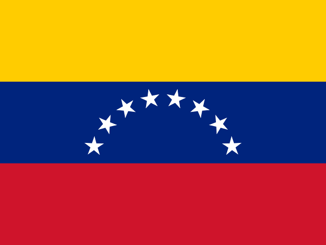 South America Northern · Western Hemisphere
 6.42375, -66.58973
6.4238° N 66.5897° W
6°25'25.5'' N 66°35'23'' W
19N 766607 710675
67RMCCF6+F4
d90ss9qv4
Latitude and longitude of Venezuela
| System | Lat. Latitude | Long. Longitude |
|---|---|---|
| Decimal standard | 6.42375 | -66.58973 |
| Decimal Degrees (DD) | 6.4238° N | 66.5897° W |
| Degrees, Minutes and Seconds (DMS) | 6°25'25.5'' N | 66°35'23'' W |
| Degrees and Decimal Minutes (DDM) | 6°25.425' N | 66°35.384' W |
Interactive coordinate map
Activate Flat Map to use this option.
Geographic facts about Venezuela
Distances calculated from the central point of Venezuela.
Geographic coordinates - Cities of Venezuela
More cities:
- El Tigre
- Porlamar
- San Felipe
- Cumaná
- Guacara
- Acarigua
- Cúa
- Araure
- Puerto Cabello
- Calabozo
- Carúpano
- Ocumare del Tuy
- El Vigía
- San Juan de los Morros
- Tucupita
- Alto Barinas
- Punto Fijo
- Santa Teresa del Tuy
- Anaco
- Táriba
- Machiques
- Charallave
- La Victoria
- Los Teques
- Puerto Ayacucho
- Coro
- Valera
- Carora
- Ejido
- Güigüe
- San Carlos
- Cagua
- Mariara
- Tinaquillo
- San Fernando de Apure
- Yaritagua
- Upata
- Guanare
- El Tocuyo
- Zaraza
- Trujillo
- Cabudare
- Morón
- Caicara del Orinoco
- Chacao
- Guasdualito
- Tovar
- Colón
- Lander
- Los Dos Caminos
- El Hatillo
- San Rafael
- Santa Rita
- Sabaneta
- Caucagüito
- Quíbor
- Valle de La Pascua
- San Mateo
- La Grita
- Santa Elena de Uairén
- Soledad
- El Limón
- Barrancas
- Santa Ana
- Barrancas
- Santa Ana
- Palo Negro
- San Carlos del Zulia
- Las Vegas
- La Concepción
- San Fernando de Atabapo
- Libertad
- Punta Gorda
- San Mateo
- Punta Cardón
- San Antonio
- San Lorenzo
- Catia La Mar
- Los Puertos de Altagracia
- Los Rastrojos
- Santa Rita
- Santa Lucía
- La Unión
- San Diego
- Libertad
- Caripe
- Santa Cruz
- Delicias
- Santa Lucía
- Concepción
To search the latitude and longitude of other countries and cities use the coordinates finder.
About geographic coordinates
The geographic coordinate system enables any place in the world to be located using its latitude and longitude. The latitude is the position relative to the equator, specifying the north-south position. The longitude specifies the east-west position measured from a reference meridian (usually the Greenwich Prime Meridian). The latitude and longitude of Venezuela have been calculated based on the geodetic datum WGS84.
Besides latitude and longitude, there are other systems to express a location: UTM coordinates divide the world into 60 zones and express positions in meters; the Plus Code is an open short code used by Google Maps; and the geohash is a compact format widely used in software applications.
All formats correspond to the same reference point: the approximate geographic center of Venezuela, a representative point within the country's territory.