Portugal Geographic coordinates
Portugal is in Europe, at latitude 39.399872 and longitude -8.224454. It lies in the northern and western hemispheres.
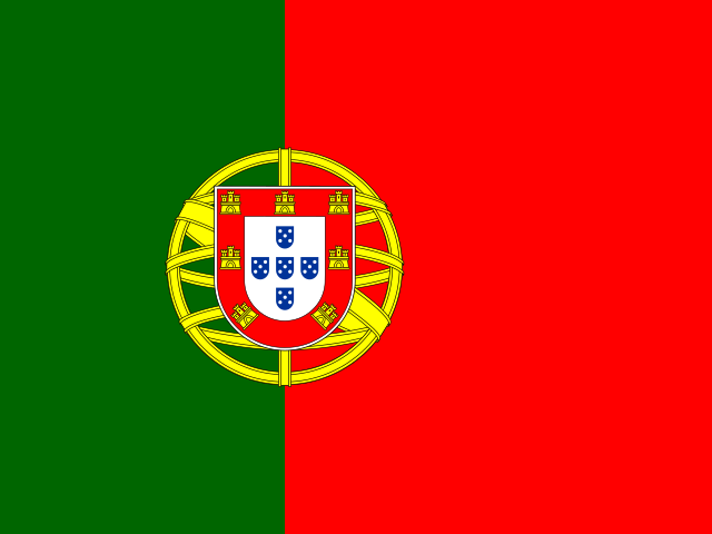 Europe Northern · Western Hemisphere
 39.399872, -8.224454
39.3999° N 8.2245° W
39°23'59.5'' N 8°13'28'' W
29S 566777 4361439
8CFH9QXG+W6
ez40hue0u
Latitude and longitude of Portugal
| System | Lat. Latitude | Long. Longitude |
|---|---|---|
| Decimal standard | 39.399872 | -8.224454 |
| Decimal Degrees (DD) | 39.3999° N | 8.2245° W |
| Degrees, Minutes and Seconds (DMS) | 39°23'59.5'' N | 8°13'28'' W |
| Degrees and Decimal Minutes (DDM) | 39°23.992' N | 8°13.467' W |
Interactive coordinate map
Activate Flat Map to use this option.
Geographic facts about Portugal
Distances calculated from the central point of Portugal.
Geographic coordinates - Cities of Portugal
More cities:
- Castelo Branco
- Belém
- Campo Grande
- Anta
- Angra do Heroísmo
- Ponta Delgada
- Barcarena
- Vila Real
- Caxias
- Santo André
- Santa Clara
- Santana
- Santo André
- Horta
- São Gonçalo
- Santa Luzia
- Ribeira Grande
- São Vicente
- Santa Cruz
- Miramar
- Santa Cruz
- São Mateus
- Mindelo
- Resende
- São Vicente
- São Paulo
- São Sebastião
- Castelo Branco
- Campinas
- Santa Luzia
- Ota
- Boa Vista
- Praia
- Évora
- Cacém
- Vila Nova de Gaia
- Algueirão
- Loures
- Felgueiras
- Rio de Mouro
- Odivelas
- Amora
- Barreiro
- Monsanto
- Rio Tinto
- São Domingos de Rana
- Figueira da Foz
- Lumiar
- Paranhos
- Ponte de Lima
- Olival
- Santo António dos Olivais
- Sesimbra
- Guimarães
- Ermesinde
- Santo Ovídio
- Portimão
- Damaia
- Cidade Universitária
- Benfica
- Cascais
- Maia
- Viana do Castelo
- Marvila
- Oeiras
- Esposende
- Afurada de Baixo
- Almada
- Olivais
- Alcabideche
- Bairro Novo
- Espinho
- Câmara de Lobos
- Alvalade
- Arrentela
- Montijo
- Charneca de Caparica
- Campanhã
- Olhão
- Aldoar
- Póvoa de Varzim
- Senhora da Hora
- Marinha Grande
- Póvoa de Santa Iria
- Sequeira
- Massamá
- Matosinhos
- Gondomar
- Águas Santas
- Vila do Conde
To search the latitude and longitude of other countries and cities use the coordinates finder.
About geographic coordinates
The geographic coordinate system enables any place in the world to be located using its latitude and longitude. The latitude is the position relative to the equator, specifying the north-south position. The longitude specifies the east-west position measured from a reference meridian (usually the Greenwich Prime Meridian). The latitude and longitude of Portugal have been calculated based on the geodetic datum WGS84.
Besides latitude and longitude, there are other systems to express a location: UTM coordinates divide the world into 60 zones and express positions in meters; the Plus Code is an open short code used by Google Maps; and the geohash is a compact format widely used in software applications.
All formats correspond to the same reference point: the approximate geographic center of Portugal, a representative point within the country's territory.